
Virgen de Asuncion topographic map
Interactive map
Click on the map to display elevation.
About this map
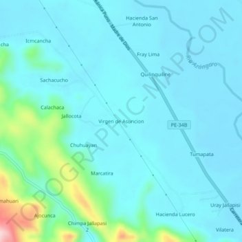
Name: Virgen de Asuncion topographic map, elevation, terrain.
Location: Virgen de Asuncion, Azángaro, Puno, Perú (-14.88324 -70.24806 -14.84324 -70.20806)
Average elevation: 12,749 ft
Minimum elevation: 12,635 ft
Maximum elevation: 13,438 ft