
Azaguié topographic map
Interactive map
Click on the map to display elevation.
About this map
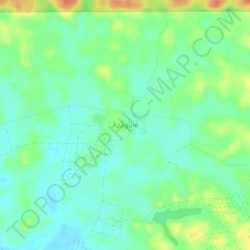
Name: Azaguié topographic map, elevation, terrain.
Location: Azaguié, Agnéby-Tiassa, Lagunes, Côte d'Ivoire (5.64277 -4.16640 5.68277 -4.12640)
Average elevation: 141 ft
Minimum elevation: 85 ft
Maximum elevation: 243 ft