
Cadmus topographic map
Interactive map
Click on the map to display elevation.
About this map
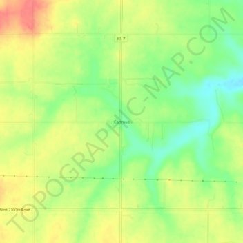
Name: Cadmus topographic map, elevation, terrain.
Location: Cadmus, Linn County, Kansas, USA (38.32558 -94.91941 38.36558 -94.87941)
Average elevation: 922 ft
Minimum elevation: 817 ft
Maximum elevation: 1,024 ft