
Burnt Coat Harbor Lighthouse topographic map
Interactive map
Click on the map to display elevation.
About this map
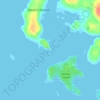
Name: Burnt Coat Harbor Lighthouse topographic map, elevation, terrain.
Average elevation: 16 ft
Minimum elevation: -7 ft
Maximum elevation: 157 ft