
Kruberg topographic map
Interactive map
Click on the map to display elevation.
About this map
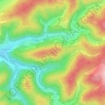
Name: Kruberg topographic map, elevation, terrain.
Location: Kruberg, Olpe, Kreis Olpe, Noordrijn-Westfalen, Duitsland (51.03700 7.90993 51.03710 7.91003)
Average elevation: 1,444 ft
Minimum elevation: 1,132 ft
Maximum elevation: 1,791 ft
Other topographic maps
Click on a map to view its topography, its elevation and its terrain.
Biggesee
Duitsland > Noordrijn-Westfalen > Kreis Olpe > Olpe > Sondern
Biggesee, Sondern, Olpe, Kreis Olpe, Noordrijn-Westfalen, Duitsland
Average elevation: 1,270 ft