
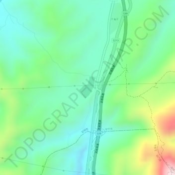
上海子坝水库 topographic map
Interactive map
Click on the map to display elevation.
About this map
Name: 上海子坝水库 topographic map, elevation, terrain.
Location: 上海子坝水库, 禄脿街道, 安宁市, 昆明市, 云南省, 中国 (24.92869 102.24864 24.93208 102.25147)
Average elevation: 6,411 ft
Minimum elevation: 5,988 ft
Maximum elevation: 7,313 ft