
Tsitsikamma National Park (Nature Reserve) topographic map
Interactive map
Click on the map to display elevation.
About this map
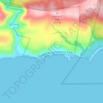
Name: Tsitsikamma National Park (Nature Reserve) topographic map, elevation, terrain.
Average elevation: 213 ft
Minimum elevation: 0 ft
Maximum elevation: 712 ft