
Isla de la Corota topographic map
Interactive map
Click on the map to display elevation.
About this map
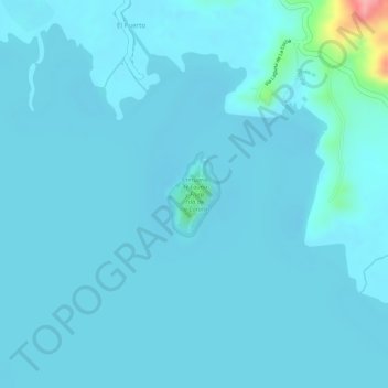
Name: Isla de la Corota topographic map, elevation, terrain.
Location: Isla de la Corota, Pasto, Centro, Nariño, Colombia (1.12620 -77.15129 1.13210 -77.14762)
Average elevation: 9,140 ft
Minimum elevation: 9,108 ft
Maximum elevation: 9,505 ft
Other topographic maps
Click on a map to view its topography, its elevation and its terrain.