
Pawtuxet topographic map
Interactive map
Click on the map to display elevation.
About this map
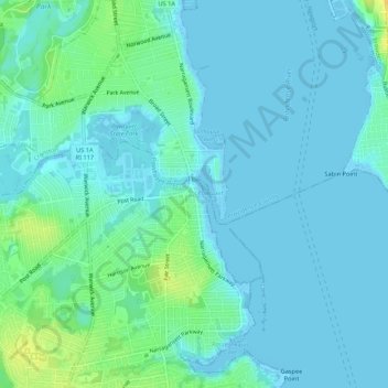
Name: Pawtuxet topographic map, elevation, terrain.
Location: Pawtuxet, Kent, Rhode Island, 02915, USA (41.74288 -71.41005 41.78288 -71.37005)
Average elevation: 16 ft
Minimum elevation: -23 ft
Maximum elevation: 79 ft