
Peñarrubia topographic map
Interactive map
Click on the map to display elevation.
About this map
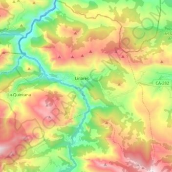
Name: Peñarrubia topographic map, elevation, terrain.
Location: Peñarrubia, Saja-Nansa, Cantabria, 39580, España (43.19575 -4.64006 43.30055 -4.52359)
Average elevation: 2,306 ft
Minimum elevation: 151 ft
Maximum elevation: 5,049 ft