
Arrondissement de Chicoutimi topographic map
Interactive map
Click on the map to display elevation.
About this map
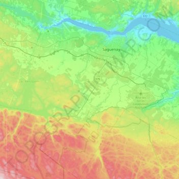
Name: Arrondissement de Chicoutimi topographic map, elevation, terrain.
Average elevation: 620 ft
Minimum elevation: 0 ft
Maximum elevation: 1,759 ft
Other topographic maps
Click on a map to view its topography, its elevation and its terrain.
Saguenay
Canada > Quebec > Ville de Saguenay
Saguenay, Ville de Saguenay, Saguenay–Lac-Saint-Jean, Quebec, G7H 3A5, Canada
Average elevation: 492 ft