
Col de Crête Sèche topographic map
Interactive map
Click on the map to display elevation.
About this map
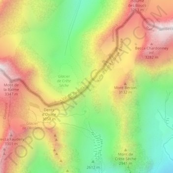
Name: Col de Crête Sèche topographic map, elevation, terrain.
Average elevation: 9,436 ft
Minimum elevation: 7,769 ft
Maximum elevation: 11,145 ft