
Pilaz topographic map
Interactive map
Click on the map to display elevation.
About this map
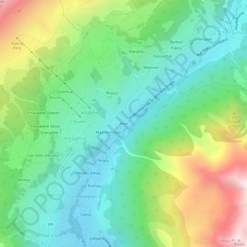
Name: Pilaz topographic map, elevation, terrain.
Location: Pilaz, Antagnod, Ayas, Valle d'Aosta, Italia (45.79686 7.68092 45.83686 7.72092)
Average elevation: 6,286 ft
Minimum elevation: 4,879 ft
Maximum elevation: 9,298 ft