
Fabro topographic map
Interactive map
Click on the map to display elevation.
About this map
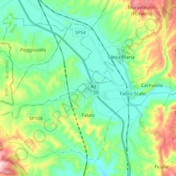
Name: Fabro topographic map, elevation, terrain.
Location: Fabro, Terni, Umbrien, 05015, Italien (42.83853 11.94677 42.91678 12.07280)
Average elevation: 1,014 ft
Minimum elevation: 699 ft
Maximum elevation: 1,821 ft