
Mbulu topographic map
Interactive map
Click on the map to display elevation.
About this map
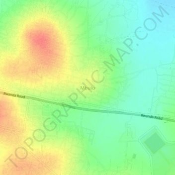
Name: Mbulu topographic map, elevation, terrain.
Average elevation: 3,973 ft
Minimum elevation: 3,894 ft
Maximum elevation: 4,072 ft
Other topographic maps
Click on a map to view its topography, its elevation and its terrain.
Bugarama
Bugarama, Msalala, Shinyanga Region, Lake Zone, Tanzania
Average elevation: 4,055 ft