
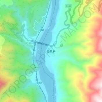
鱼鲊 topographic map
Interactive map
Click on the map to display elevation.
About this map
Name: 鱼鲊 topographic map, elevation, terrain.
Location: 鱼鲊, 凉山彝族自治州, 四川省, 中国 (26.34544 101.91048 26.38544 101.95048)
Average elevation: 3,904 ft
Minimum elevation: 3,150 ft
Maximum elevation: 5,515 ft