
Morgantown topographic map
Interactive map
Click on the map to display elevation.
About this map
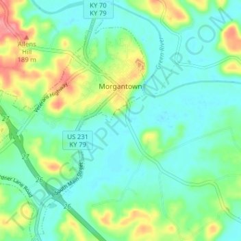
Name: Morgantown topographic map, elevation, terrain.
Location: Morgantown, Butler County, Kentucky, 42261, United States (37.19294 -86.73086 37.24360 -86.67711)
Average elevation: 463 ft
Minimum elevation: 387 ft
Maximum elevation: 650 ft