
Chirca topographic map
Interactive map
Click on the map to display elevation.
About this map
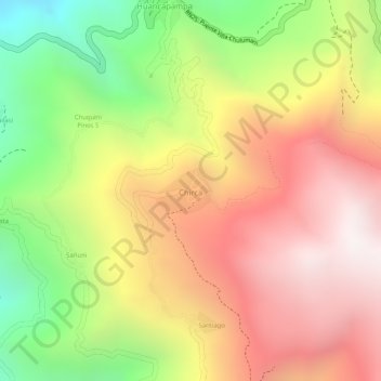
Name: Chirca topographic map, elevation, terrain.
Location: Chirca, Provincia Sud Yungas, La Paz, Bolivia (-16.38896 -67.58558 -16.38560 -67.58138)
Average elevation: 6,486 ft
Minimum elevation: 4,334 ft
Maximum elevation: 8,140 ft