
Ansart topographic map
Interactive map
Click on the map to display elevation.
About this map
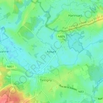
Name: Ansart topographic map, elevation, terrain.
Location: Ansart, Tintigny, Virton, Luxemburg, Wallonië, 6730, België (49.67316 5.50192 49.71316 5.54192)
Average elevation: 1,112 ft
Minimum elevation: 1,056 ft
Maximum elevation: 1,276 ft