
Snowtown topographic map
Interactive map
Click on the map to display elevation.
About this map
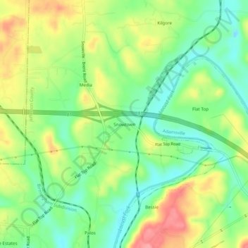
Name: Snowtown topographic map, elevation, terrain.
Location: Snowtown, Jefferson County, Alabama, USA (33.64316 -87.05833 33.68316 -87.01833)
Average elevation: 374 ft
Minimum elevation: 246 ft
Maximum elevation: 551 ft