
Sonning topographic map
Interactive map
Click on the map to display elevation.
About this map
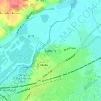
Name: Sonning topographic map, elevation, terrain.
Location: Sonning, Wokingham, South East, Engeland, RG4 6UU, VK (51.45359 -0.92991 51.49359 -0.88991)
Average elevation: 151 ft
Minimum elevation: 98 ft
Maximum elevation: 325 ft