
Puente Genil topographic map
Interactive map
Click on the map to display elevation.
About this map
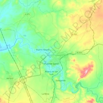
Name: Puente Genil topographic map, elevation, terrain.
Location: Puente Genil, Córdova, Andaluzia, 14500, Espanha (37.32850 -4.84981 37.48265 -4.67676)
Average elevation: 843 ft
Minimum elevation: 469 ft
Maximum elevation: 1,644 ft