
Pandamatenga topographic map
Interactive map
Click on the map to display elevation.
About this map
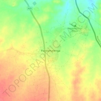
Name: Pandamatenga topographic map, elevation, terrain.
Location: Pandamatenga, Chobe District, Botswana (-18.59066 25.59169 -18.51066 25.67169)
Average elevation: 3,524 ft
Minimum elevation: 3,422 ft
Maximum elevation: 3,609 ft