
Kampung Pantai Kundur topographic map
Interactive map
Click on the map to display elevation.
About this map
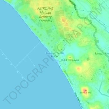
Name: Kampung Pantai Kundur topographic map, elevation, terrain.
Location: Kampung Pantai Kundur, Malacca City, 76400, Malaysia (2.22911 102.11792 2.26911 102.15792)
Average elevation: 33 ft
Minimum elevation: -13 ft
Maximum elevation: 144 ft