
Phanom topographic map
Interactive map
Click on the map to display elevation.
About this map
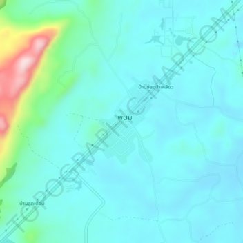
Name: Phanom topographic map, elevation, terrain.
Location: Phanom, Surat Thani Province, Thailand (8.83922 98.79394 8.87922 98.83394)
Average elevation: 223 ft
Minimum elevation: 59 ft
Maximum elevation: 1,099 ft