
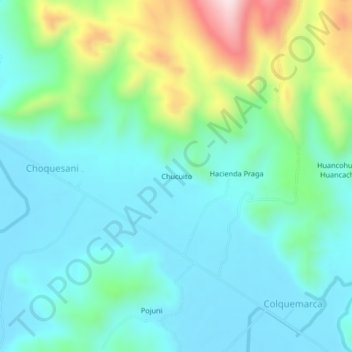
Chucuito topographic map
Interactive map
Click on the map to display elevation.
About this map
Name: Chucuito topographic map, elevation, terrain.
Location: Chucuito, Melgar, Puno, Peru (-14.68458 -70.43225 -14.64458 -70.39225)
Average elevation: 13,136 ft
Minimum elevation: 12,789 ft
Maximum elevation: 14,245 ft