
Palm View topographic map
Interactive map
Click on the map to display elevation.
About this map
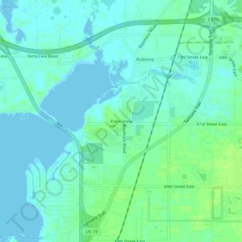
Name: Palm View topographic map, elevation, terrain.
Location: Palm View, Manatee County, Florida, 34221, USA (27.54865 -82.57704 27.58865 -82.53704)
Average elevation: 16 ft
Minimum elevation: -7 ft
Maximum elevation: 43 ft