
La Millar topographic map
Interactive map
Click on the map to display elevation.
About this map
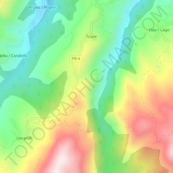
Name: La Millar topographic map, elevation, terrain.
Location: La Millar, Parres, Asturië, Spanje (43.31536 -5.21066 43.33536 -5.19066)
Average elevation: 1,329 ft
Minimum elevation: 495 ft
Maximum elevation: 2,507 ft
Other topographic maps
Click on a map to view its topography, its elevation and its terrain.
Arriondas / Les Arriondes
Arriondas / Les Arriondes, Parres, Asturië, 33540, Spanje
Average elevation: 614 ft