
Adula topographic map
Interactive map
Click on the map to display elevation.
About this map
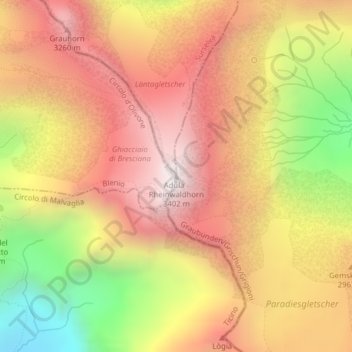
Name: Adula topographic map, elevation, terrain.
Location: Adula, Rheinwald, Viamala, Grigioni, Svizzera (46.49360 9.04014 46.49370 9.04024)
Average elevation: 9,288 ft
Minimum elevation: 6,795 ft
Maximum elevation: 11,033 ft
Other topographic maps
Click on a map to view its topography, its elevation and its terrain.