
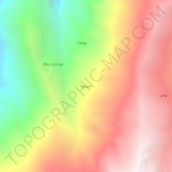
Ayaviri topographic map
Interactive map
Click on the map to display elevation.
About this map
Name: Ayaviri topographic map, elevation, terrain.
Location: Ayaviri, Abancay, Apurímac, Perú (-13.46360 -72.99658 -13.42360 -72.95658)
Average elevation: 10,873 ft
Minimum elevation: 6,847 ft
Maximum elevation: 14,190 ft