
Prabalgad Machi topographic map
Interactive map
Click on the map to display elevation.
About this map
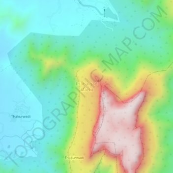
Name: Prabalgad Machi topographic map, elevation, terrain.
Location: Prabalgad Machi, Kulāba, Raigad, Maharashtra, India (18.96139 73.19699 19.00139 73.23699)
Average elevation: 876 ft
Minimum elevation: 121 ft
Maximum elevation: 2,461 ft