
Linga topographic map
Interactive map
Click on the map to display elevation.
About this map
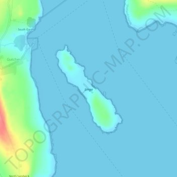
Name: Linga topographic map, elevation, terrain.
Location: Linga, South Garth, Shetland Islands, Schotland, VK (60.65963 -0.98918 60.67288 -0.96860)
Average elevation: 23 ft
Minimum elevation: -16 ft
Maximum elevation: 207 ft