
Bella Union topographic map
Interactive map
Click on the map to display elevation.
About this map
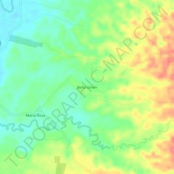
Name: Bella Union topographic map, elevation, terrain.
Location: Bella Union, Cantón Quinsaloma, Los Ríos, Ecuador (-1.19142 -79.37210 -1.15142 -79.33210)
Average elevation: 282 ft
Minimum elevation: 190 ft
Maximum elevation: 407 ft