
Hopkinsville topographic map
Interactive map
Click on the map to display elevation.
About this map
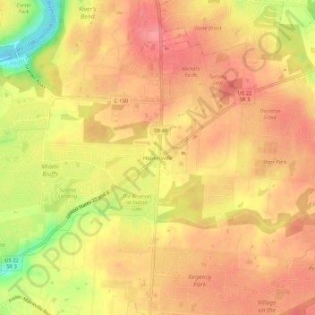
Name: Hopkinsville topographic map, elevation, terrain.
Location: Hopkinsville, Warren County, Ohio, 45065, United States (39.31895 -84.23966 39.35895 -84.19966)
Average elevation: 787 ft
Minimum elevation: 604 ft
Maximum elevation: 873 ft