
Marienthal topographic map
Interactive map
Click on the map to display elevation.
About this map
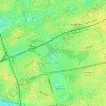
Name: Marienthal topographic map, elevation, terrain.
Location: Marienthal, Wandsbek, Hambourg, 22043, Allemagne (53.55954 10.05989 53.57594 10.10749)
Average elevation: 56 ft
Minimum elevation: 16 ft
Maximum elevation: 79 ft
Other topographic maps
Click on a map to view its topography, its elevation and its terrain.