
Comachuén topographic map
Interactive map
Click on the map to display elevation.
About this map
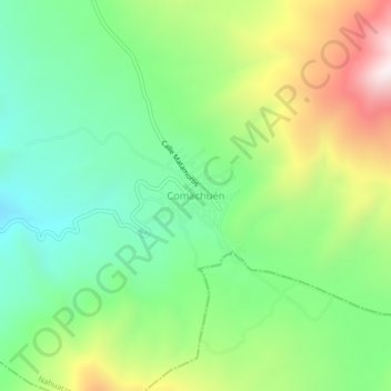
Name: Comachuén topographic map, elevation, terrain.
Location: Comachuén, Nahuatzen, Michoacán de Ocampo, México (19.55157 -101.92474 19.59157 -101.88474)
Average elevation: 8,888 ft
Minimum elevation: 7,871 ft
Maximum elevation: 10,692 ft