
Pinagbakahan topographic map
Interactive map
Click on the map to display elevation.
About this map
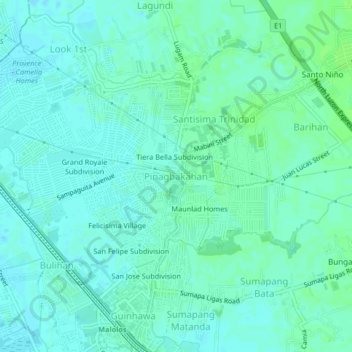
Name: Pinagbakahan topographic map, elevation, terrain.
Location: Pinagbakahan, Bulacan, Central Luzon, 3000, Philippines (14.85157 120.80079 14.89157 120.84079)
Average elevation: 20 ft
Minimum elevation: 7 ft
Maximum elevation: 33 ft
Other topographic maps
Click on a map to view its topography, its elevation and its terrain.
Maunlad Homes
Philippines > Bulacan > Pinagbakahan
Maunlad Homes, Pinagbakahan, Bulacan, Central Luzon, 3000, Philippines
Average elevation: 20 ft