
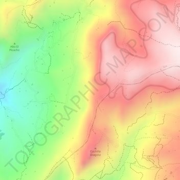
Chiguata topographic map
Interactive map
Click on the map to display elevation.
About this map
Name: Chiguata topographic map, elevation, terrain.
Location: Chiguata, Iza, Boyacá, Colombia (5.59941 -72.96007 5.61941 -72.94007)
Average elevation: 9,721 ft
Minimum elevation: 8,724 ft
Maximum elevation: 10,449 ft