
Jangjeon-dong topographic map
Interactive map
Click on the map to display elevation.
About this map
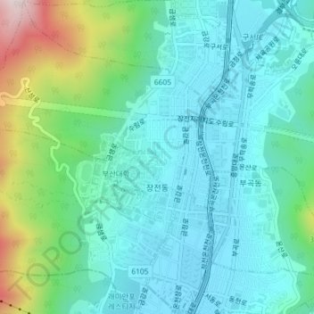
Name: Jangjeon-dong topographic map, elevation, terrain.
Location: Jangjeon-dong, Geumjeong-gu, Busan, South Korea (35.22169 129.05915 35.25101 129.08965)
Average elevation: 400 ft
Minimum elevation: 39 ft
Maximum elevation: 1,634 ft