
Tenang Stesen topographic map
Interactive map
Click on the map to display elevation.
About this map
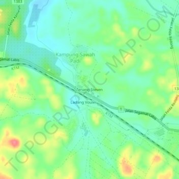
Name: Tenang Stesen topographic map, elevation, terrain.
Location: Tenang Stesen, Kampung Sawah Padi, Segamat, Johor, Malaysia (2.44666 102.93831 2.48666 102.97831)
Average elevation: 135 ft
Minimum elevation: 52 ft
Maximum elevation: 285 ft