
Etúcuaro topographic map
Interactive map
Click on the map to display elevation.
About this map
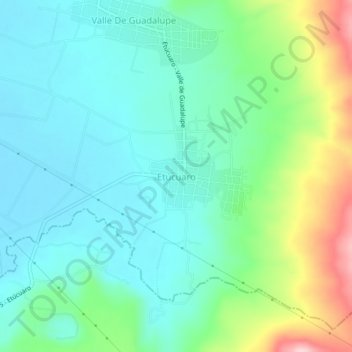
Name: Etúcuaro topographic map, elevation, terrain.
Location: Etúcuaro, Tangancícuaro, Michoacán de Ocampo, México (19.87244 -102.15162 19.91244 -102.11162)
Average elevation: 5,764 ft
Minimum elevation: 5,574 ft
Maximum elevation: 6,306 ft