
Thannberg topographic map
Interactive map
Click on the map to display elevation.
About this map
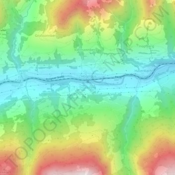
Name: Thannberg topographic map, elevation, terrain.
Average elevation: 3,366 ft
Minimum elevation: 2,349 ft
Maximum elevation: 5,167 ft
Other topographic maps
Click on a map to view its topography, its elevation and its terrain.
Gemeinde Bramberg am Wildkogel
Österreich > Salzburg > Bezirk Zell am See
Gemeinde Bramberg am Wildkogel, Bezirk Zell am See, Salzburg, 5733, Österreich
Average elevation: 5,712 ft