
刘家营村 topographic map
Interactive map
Click on the map to display elevation.
About this map
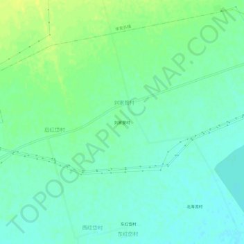
Name: 刘家营村 topographic map, elevation, terrain.
Location: 刘家营村, 北什轴乡, 土默特左旗, 呼和浩特市, 内蒙古自治区, 中国 (40.65466 111.33309 40.69466 111.37309)
Average elevation: 3,333 ft
Minimum elevation: 3,307 ft
Maximum elevation: 3,369 ft