
米美村 topographic map
Interactive map
Click on the map to display elevation.
About this map
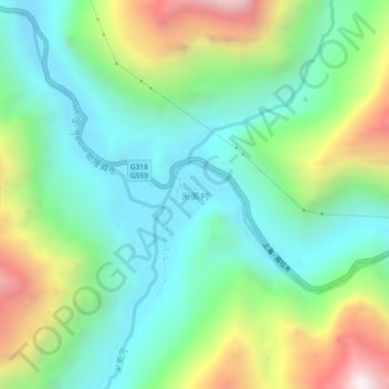
Name: 米美村 topographic map, elevation, terrain.
Location: 米美村, 玉普乡, 波密县, 林芝市, 西藏自治区, 中国 (29.53503 96.43291 29.57503 96.47291)
Average elevation: 12,887 ft
Minimum elevation: 11,421 ft
Maximum elevation: 16,073 ft
Other topographic maps
Click on a map to view its topography, its elevation and its terrain.