
Bansa topographic map
Interactive map
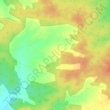
Click on the map to display elevation.
About this map
Name: Bansa topographic map, elevation, terrain.
Average elevation: 1,529 ft
Minimum elevation: 1,440 ft
Maximum elevation: 1,594 ft
Other topographic maps
Click on a map to view its topography, its elevation and its terrain.
Mamala
India > Madhya Pradesh > Shahdol District
Mamala, Jaitpur Tahsil, Shahdol District, Madhya Pradesh, India
Average elevation: 1,690 ft