
Reserva Natural de la Sociedad Civil El Porvenir topographic map
Interactive map
Click on the map to display elevation.
About this map
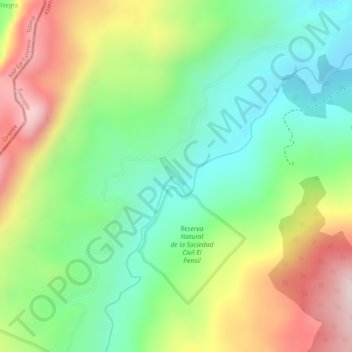
Name: Reserva Natural de la Sociedad Civil El Porvenir topographic map, elevation, terrain.
Average elevation: 7,818 ft
Minimum elevation: 7,238 ft
Maximum elevation: 8,609 ft