
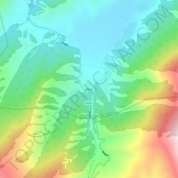
贾登峪 topographic map
Interactive map
Click on the map to display elevation.
About this map
Name: 贾登峪 topographic map, elevation, terrain.
Location: 贾登峪, 窝依莫克镇, 布尔津县, 阿勒泰地区, 新疆维吾尔自治区, 中国 (48.47166 87.12595 48.51166 87.16595)
Average elevation: 5,328 ft
Minimum elevation: 4,511 ft
Maximum elevation: 7,126 ft