
Khalapur topographic map
Interactive map
Click on the map to display elevation.
About this map
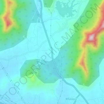
Name: Khalapur topographic map, elevation, terrain.
Location: Khalapur, Kulāba, Raigad, Maharashtra, 410202, India (18.83018 73.25735 18.87018 73.29735)
Average elevation: 384 ft
Minimum elevation: 131 ft
Maximum elevation: 1,486 ft