
Stonegate topographic map
Interactive map
Click on the map to display elevation.
About this map
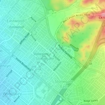
Name: Stonegate topographic map, elevation, terrain.
Location: Stonegate, Irvine, Orange County, California, USA (33.69856 -117.75093 33.71707 -117.73045)
Average elevation: 341 ft
Minimum elevation: 220 ft
Maximum elevation: 643 ft
Other topographic maps
Click on a map to view its topography, its elevation and its terrain.
El Camino Real
USA > California > Irvine
El Camino Real, Irvine, Orange County, California, USA
Average elevation: 115 ft