
La Luchita topographic map
Interactive map
Click on the map to display elevation.
About this map
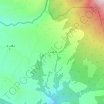
Name: La Luchita topographic map, elevation, terrain.
Average elevation: 2,822 ft
Minimum elevation: 1,821 ft
Maximum elevation: 4,875 ft
Other topographic maps
Click on a map to view its topography, its elevation and its terrain.
La Lucha
Costa Rica > Cantón Buenos Aires > Potrero Grande
La Lucha, Potrero Grande, Cantón Buenos Aires, Puntarenas Province, 60303, Costa Rica
Average elevation: 2,484 ft